Beneath the Surface,
Beyond Expectations.

With years of proven experience, professional execution, and a strong track record across mining and infrastructure projects, we stand as a reliable partner delivering precision, safety, and long-term value.

About Us

Beyond Limits, Below the Surface

Azdaghmadanistismar LLC is a specialized drilling and geological services company operating in Azerbaijan since 2011. With over a decade of industry experience, the company has successfully delivered large-scale projects across mining, infrastructure, and industrial sectors .

0
Years experiences
0 m
Exploration drilling
0 m
Reverse circulation drilling
0 m
Geotechnical drilling
0 m
Blast Hole Drillling

Geological and Exploration Drilling Services

Our company performs large-scale geological exploration drilling across various deposits. Using Continuous Core Drilling and Reverse Circulation (RC) methods, thousands of meters of drilling operations have been successfully completed, and samples have been prepared for laboratory analysis. The collected data is used for deposit evaluation and the development of geological models.

Engineering-Geological and Geotechnical Investigations

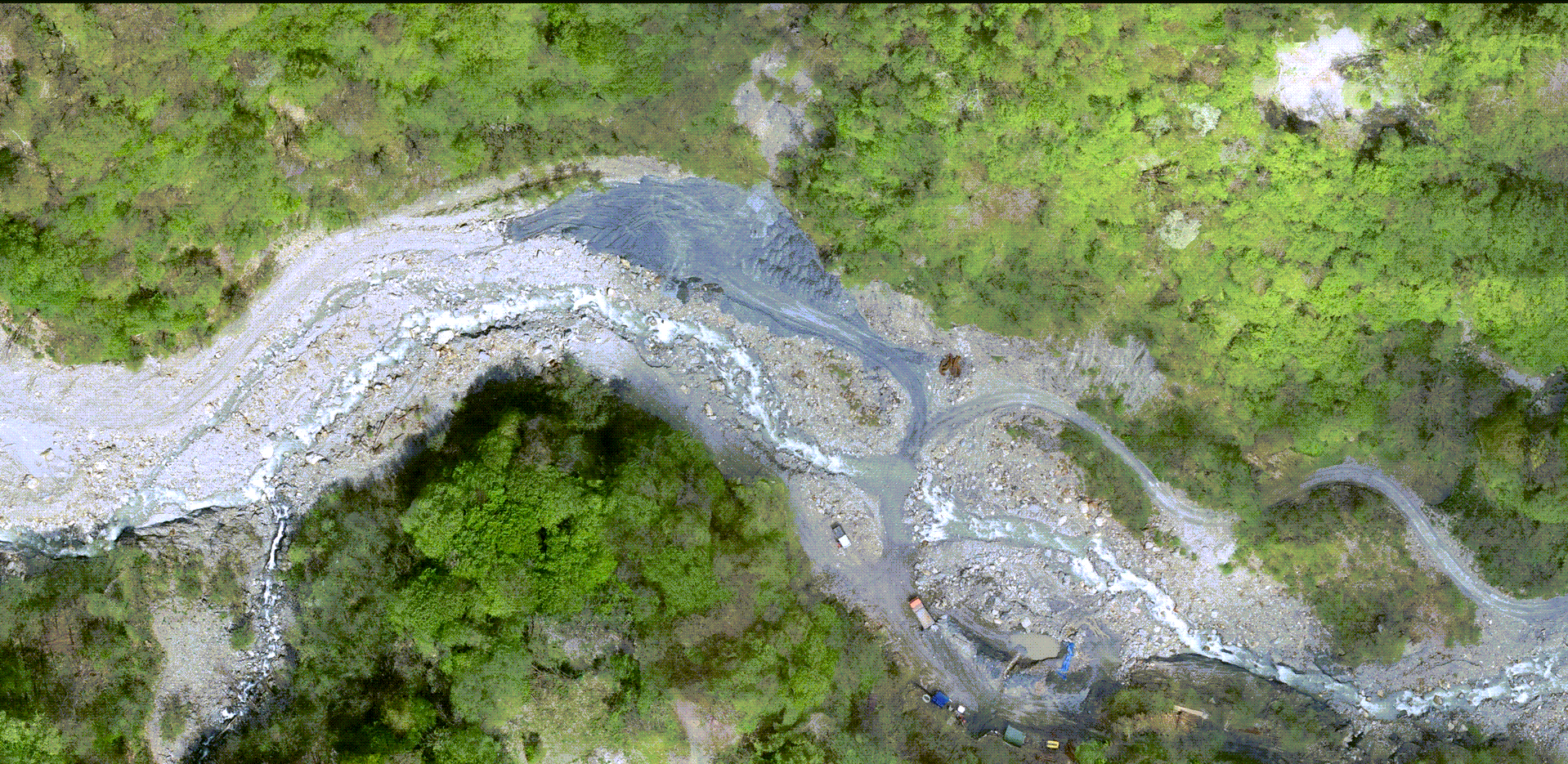
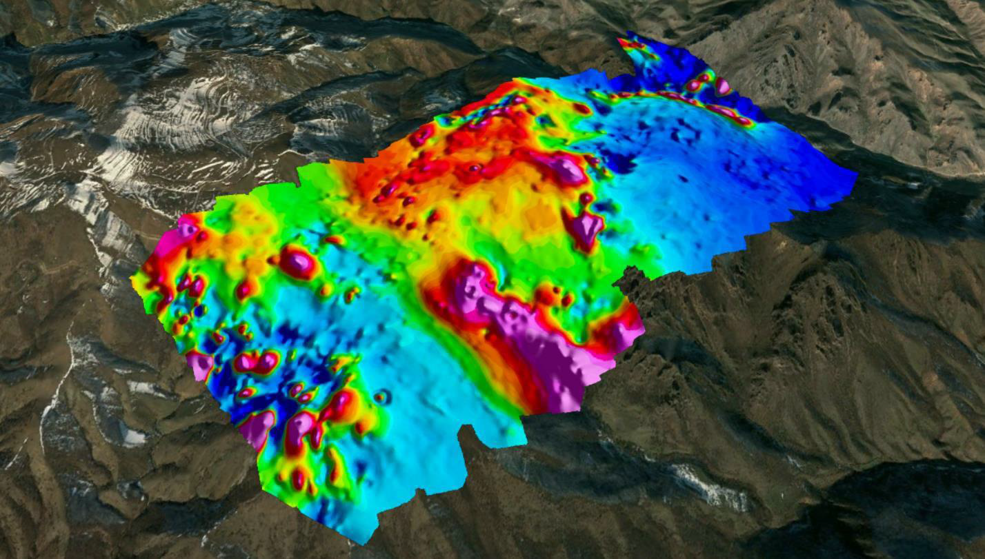
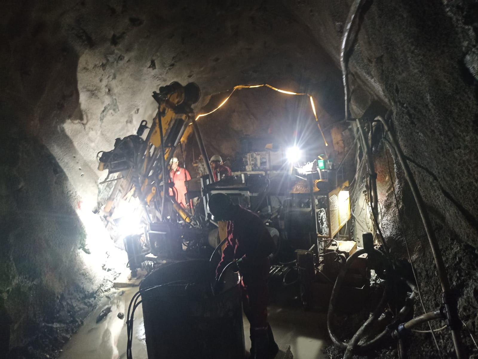
We conduct engineering-geological and geotechnical investigations for construction, mining, and industrial projects. Our services include drilling operations, soil and rock sampling, SPT, SPTC, DPT (Super heavy, Heavy, Light), CPTu, Dilatometer, Pressuremeter, Packer (Single and Double) and various permeability tests, piezometric measurements, and inclinometer monitoring, all carried out in accordance with international standards such as ASTM, ISO, DIN, GOST. These investigations provide essential baseline data for design and safety decisions.

Geophysical Surveys

We provide a specialized technical workflow centered on high-integrity data acquisition and processing. Our expertise encompasses Electrical Resistivity Tomography (ERT), Magnetometer Surveys, Seismic Refraction, MASW and Downhole Seismics.

Resource Estimation and Mine Planning

Based on geological and geophysical data, we deliver resource estimation, 3D geological modeling, and quarry/mine design support. Our analytical solutions assist clients in technical and economic feasibility assessments, contributing to efficient and sustainable project development."

Infrastructure and Specialized Drilling Works

Within large-scale infrastructure projects such as highways and tunnels, we carry out blast hole drilling, anchoring, inclined coring and other specialized drilling operations. High productivity and technical precision are ensured even in complex terrain conditions.

Topographic Survey Services

Our company conducts topographic survey works using advanced UAV (Photogrammetry and Lidar) technology, providing high-precision aerial mapping, contour plans, and digital terrain models (DTM). These services ensure accurate spatial data to support engineering design, mining operations, infrastructure development, and efficient project planning

Our Clients
Our Projects

BALAKAN
FILIZCHAY-MINE AREA

Measuring the Tunnel Cross Section (Left, Right, Top and Bottom Gaps) Using Total Station (TPS)

Tunnel Survey and Setting-Out Works Using GPS and TPS – 255 m

Read More

DASHKASAN
GEOPHYSICAL SURVEY

Executing integrated geophysical investigations including ERT surveys along 13.8 km profiles and magnetic surveys covering 12 km to detect geological anomalies, map subsurface features, and support detailed geotechnical and exploration studies. ERT surveys using MPT units(Kv.Km) 13,8 and Magnetometer surveys using a magnetometer(Kv.km) 12

Read More

GEDABEK
UNDERGROUND

Carrying out tunnel excavation works within the territory of Gadabay District.

In total, for one borehole, the overall drilled depth was 138 m, and 138 m was surveyed using an inclinometer.

Read More